
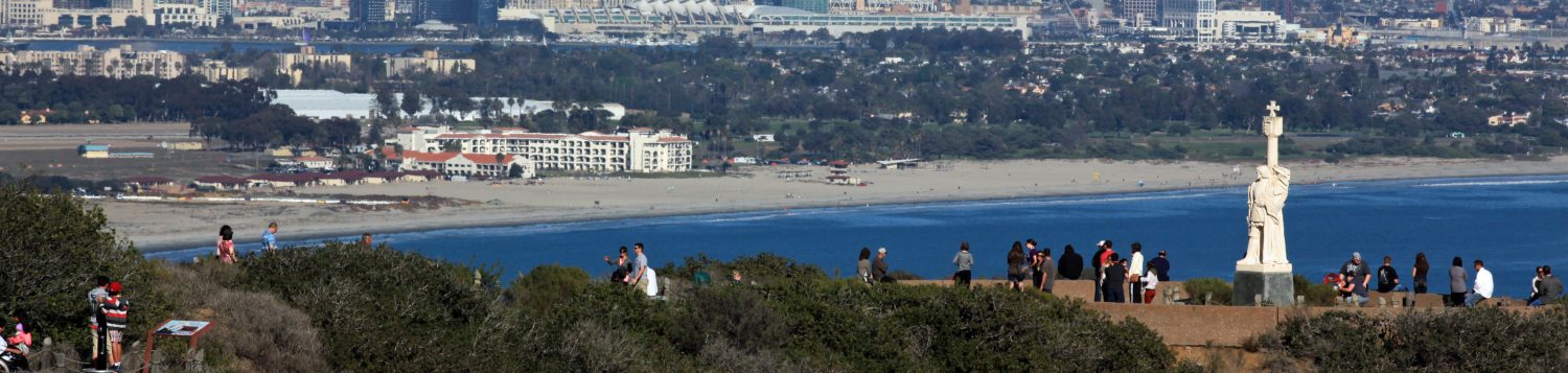

Have you ever been traveling out to Cabrillo National Monument and wondered what that dome shaped framework structure was along the road? How about that large round “swimming pool” off to the side? And what about all those model ships that are near the Federal Firestation?
These are some of the questions Cabrillo volunteers get asked while working out at Cabrillo. Well we have those answers for you.
Let’s start with that dome structure that can been seen for miles on top of the Point Loma peninsula.
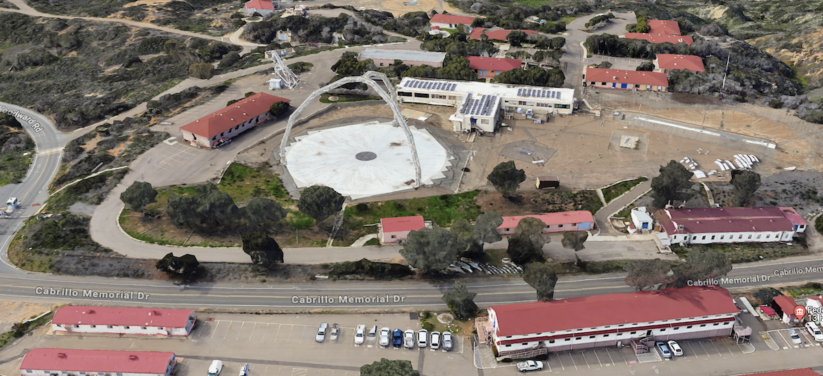
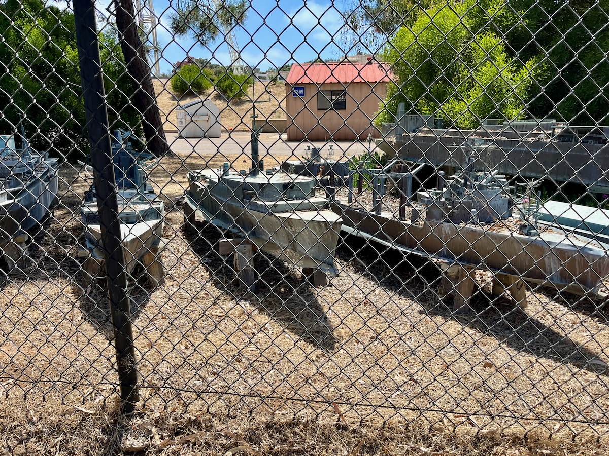
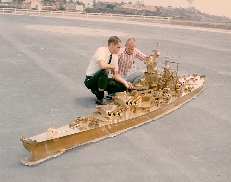
This dome structure and the large brass model ships that are seen behind the fence are actually related.
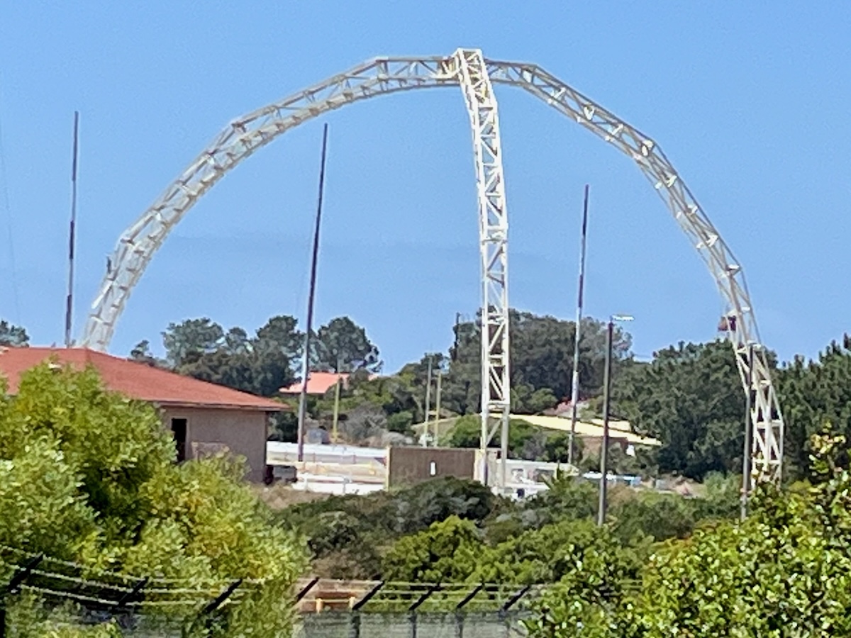
The dome structure is called the Shipboard Antenna Model Range. It was one of the first structures built by the Naval Electronics Lab (now called NAVWAR) in 1945. NAVWAR has changed names over the years but the general mission has stayed the same. The history of NAVWAR on the Point Loma peninsula has a remarkable story and that will be detailed in a future post.
The non-metallic arch of this structure supports a transmitting antenna which is positioned toward a brass model ship on a turntable. The ground plane under the arch simulates the electrical characteristics of the ocean, allowing research on the properties of shipboard antennas to be studied. The brass model ships are placed in the center under the arch to test various antennas.
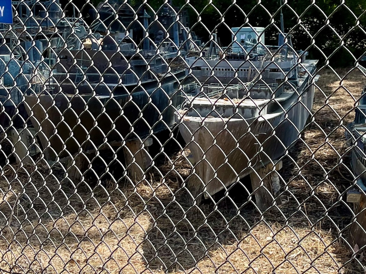
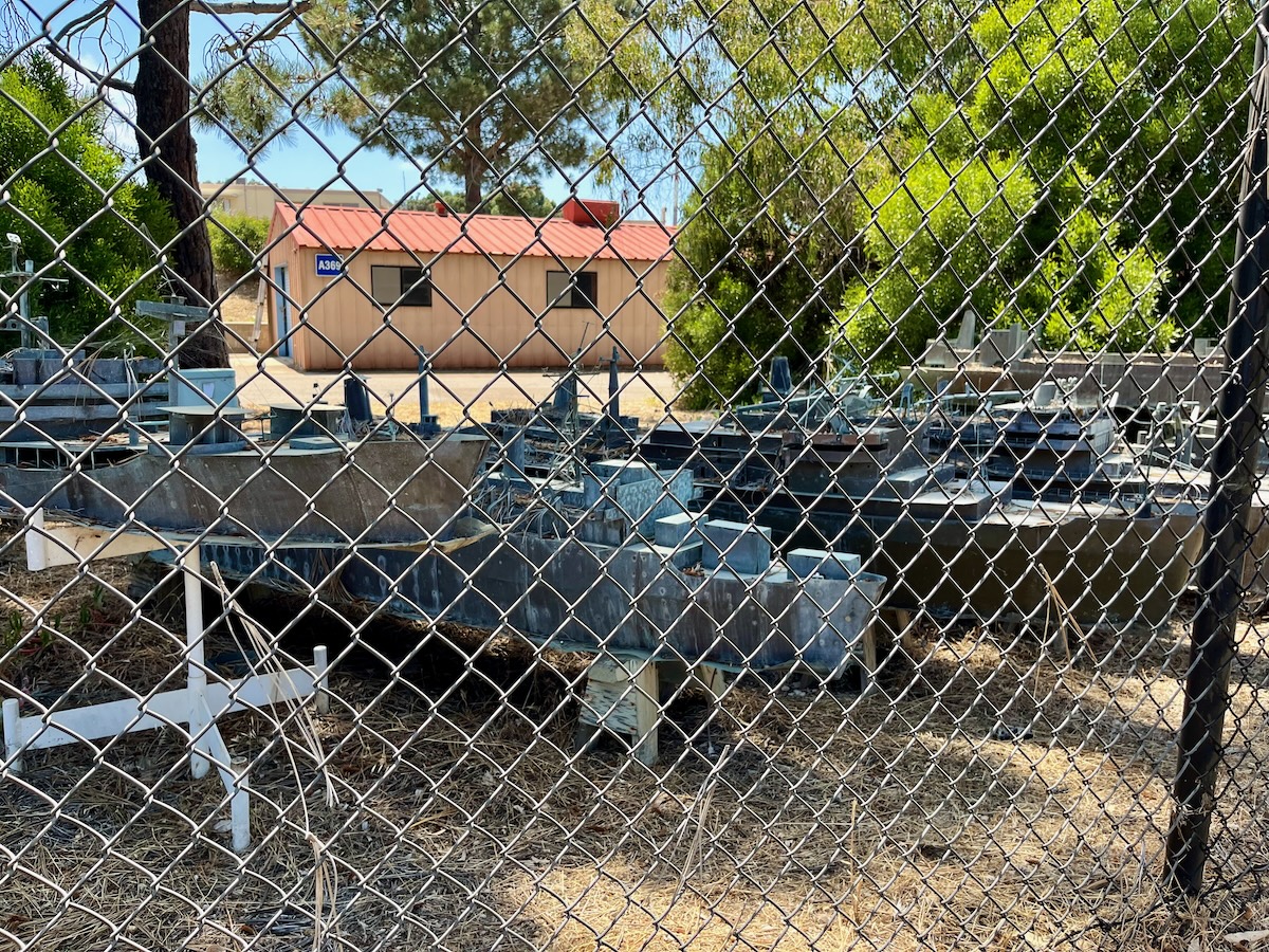
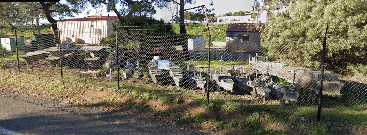
The model ships are built out of wood and brass.
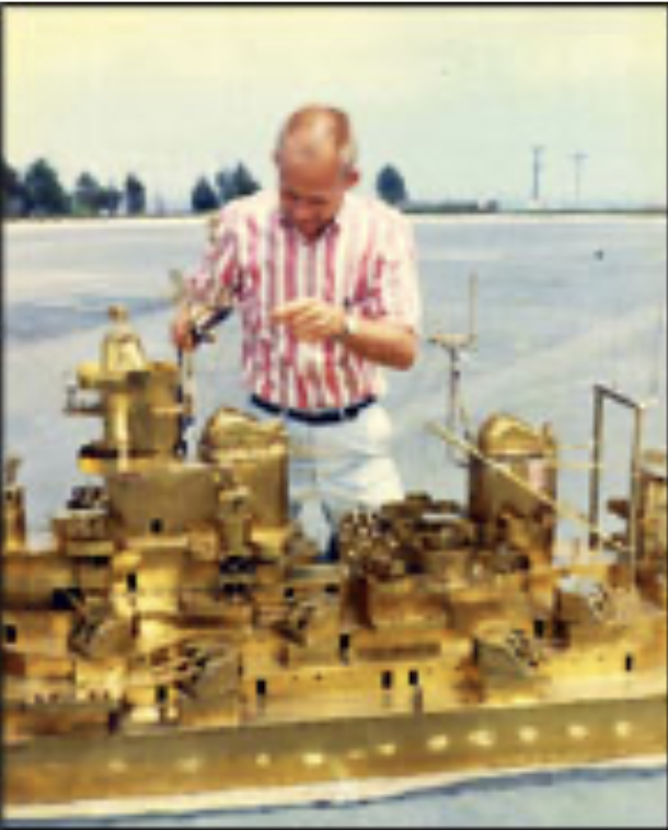
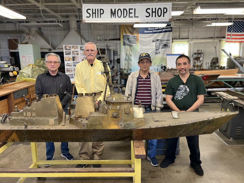
Read more about one of these model ship builders who carries out the work today.
Press Release – 1949
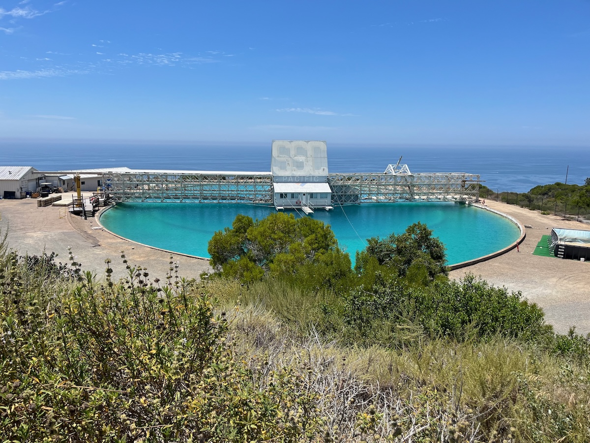
If you stop at one of the pull outs along Cabrillo Road, you will see something that looks like a large circular swimming pool. Visitors at Cabrillo often ask what that structure is, as it seems out of place with the surroundings.
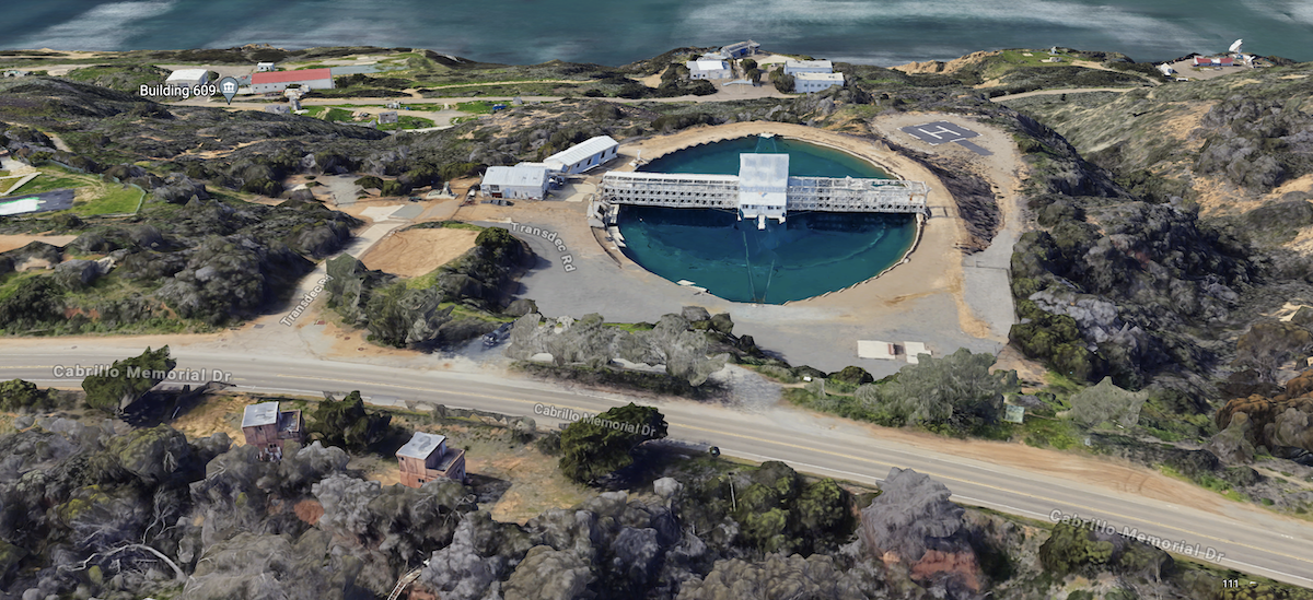
This is part of the Arctic Submarine Laboratory, also part of NAVWAR. The Arctic Submarine Laboratory is a research facility. It began as a converted World War II mortar emplacement, Battery Whistler. The Submarine Lab’s mission is focused on scientific exploration of the Arctic Basin, and particularly providing the capability to operate attack submarines in the Arctic under the ice canopy.

The pool was constructed to test equipment for deep submersible vehicles. The pool is equipped to grow sea ice and study its physical properties. The Lab continues today with its primary missions, developing new technology for the use of US submarines heading under the polar ice pack and providing operations staff to assist in taking submarines under the ice pack.
So this pool is not used for swimming, although it certainly looks inviting on a warm, clear sunny day.
And that is just a little history of some of the NAVWAR structures along Cabrillo road. Next time as you drive out to the park, you will have a better understanding of the structures that are visible. You will hopefully be able to explain to visitors about their significance to the area too.
