

The Photographic Story of Cabrillo National Monument’s Coastal Geology

How did these large rocks get here?
Let’s begin with changing sea levels:
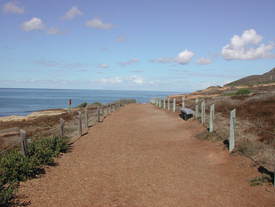
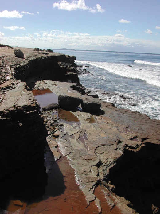
Sea levels have changed over time. The trail leading to the tidepools represents a previous ocean level.
Here we see a wave cut terrace. This was once a beach, very much like the one we see today several stories below.
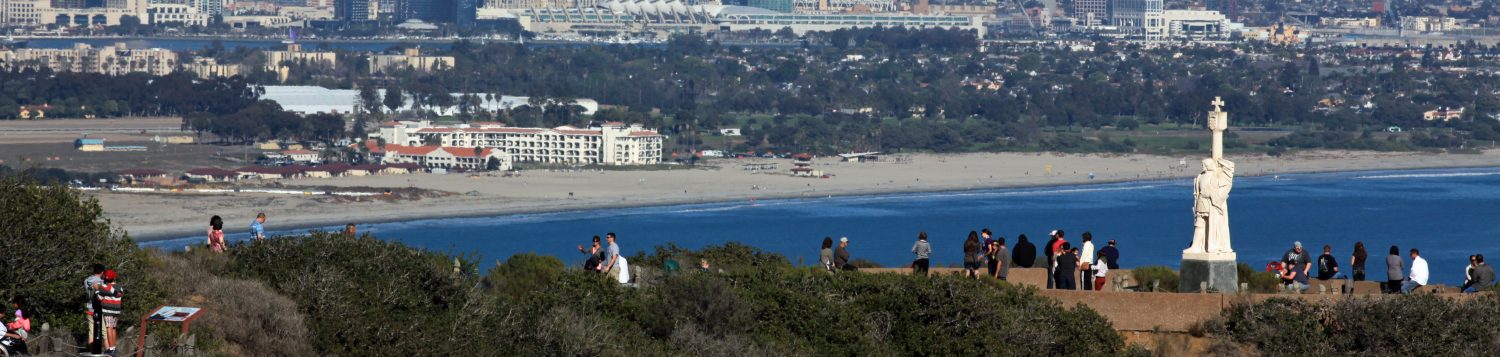
Picture this: 70 million years ago, the entire Point Loma Peninsula was under water.
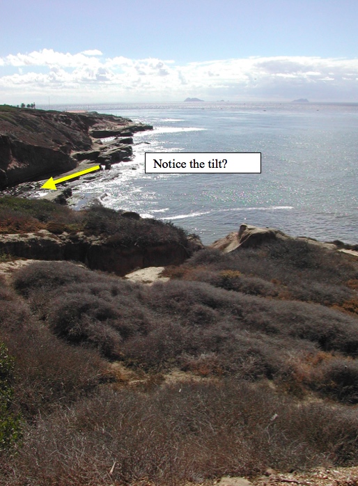
Over time, due to receding ocean levels and fault movement, the Point Loma Peninsula was lifted out of the ocean and it continues to slowly rise today. It has lifted at an angle, so the west side of the peninsula is actually tilted up out of the water more than the east side of the peninsula.
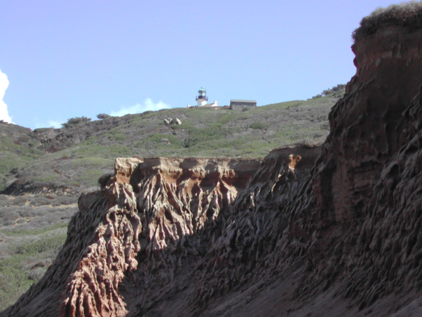
How did all these layers get here?
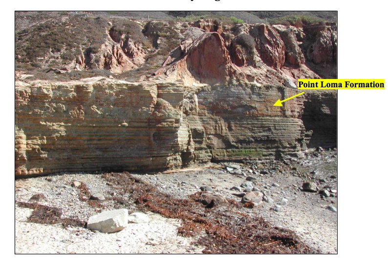
 When this peninsula was under water it was at the end of a giant submarine canyon. You can think of it as the mouth of a river, where flowing sand traveled down the canyon in the shape of a fan and found its final resting place. Each layer represents some underwater event that caused sand deposits. Through time and pressure these layers were formed, capturing a moment of geologic history.


Pools of water left behind by waves contribute to erosion. Numerous layers are left behind. Those layers expose trace fossils.
What kind of fossils can be found at Cabrillo?
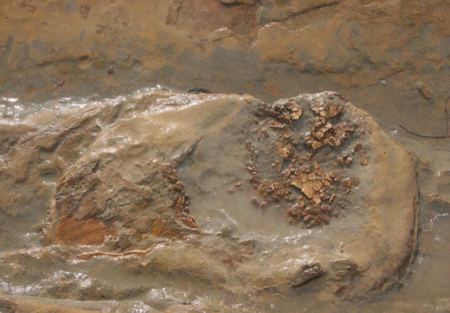
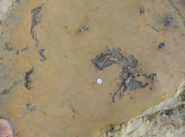
Have there been any recent fossil discoveries?
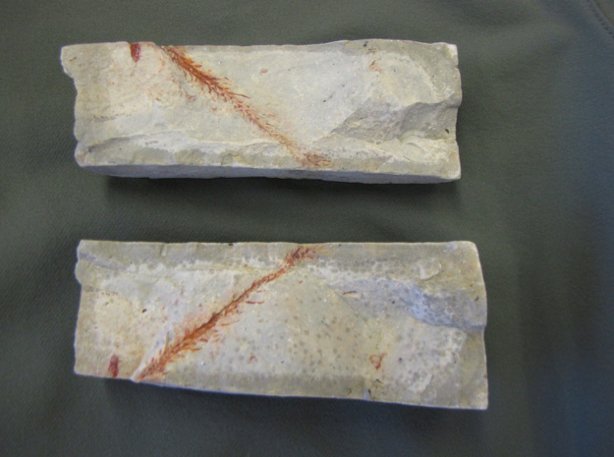
On May 11, 2011 a park visitor discovered a fossil along the coastal bluffs of Cabrillo National Monument. The San Diego Natural History Museum examined this fossil and determined it was most likely that of the plant genus Araucaria. The species is unknown, but it is believed to have existed in the area during the Cretaceous time period, 65-145 million years ago. It’s believed to resemble a plant from today called the monkey-puzzle tree.
Wind and rain leave sand deposits on top of the sandstone layers. These formations can change overnight during a heavy storm.

Remember the wave cut terrace that makes up the tidepool trail entrance? These red sands are part of a terrace deposit that makes up the Bay Point formation. It was left behind on that wave cut terrace when the sea level lowered. This sand is from the Pleistocene time period and is much younger than the submarine fan rocks. It is much younger than the rock layers found below it.
More overnight erosion!


So how did all of these darker, big rocks get here?

These larger rocks up top and those at sea level all came from the same location. They are igneous, or volcanic rocks which are very hard. Long ago, when the ocean level was higher and the coastline was in today’s east county, there were large volcanoes. Rocks from those volcanoes in the Santiago peaks were embedded in the softer sandstone. As the sandstone erodes away, the igneous rock has nowhere to go but down.

This critical marine habitat would not be possible without the rocks. They help trap water left behind during low tide, providing a place for marine life that can be seen by everyone without a boat and without the need to scuba dive. They also create the perfect habitat for marine algae to grow and some animals to live. The tidepools serve as a nursery for marine life that can eventually find a home in the open ocean or the Point Loma Kelp Forest. This is why rocks are truly the “rock stars” of the intertidal.
Last revised 12-Aug-13
