
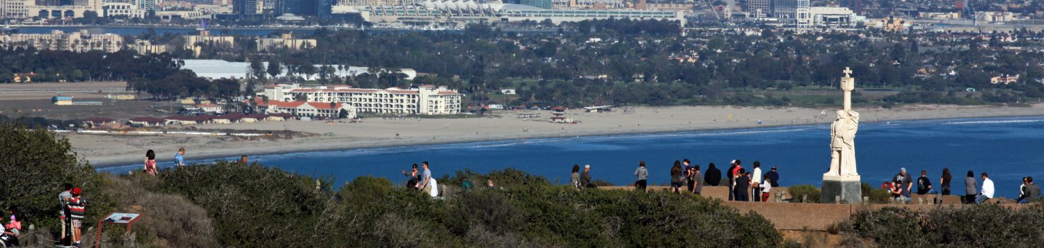
At Cabrillo National Monument on the end of the Point Loma Peninsula

Meet the Tides
What is the Intertidal Area?
All the area between when the tide is at its highest and at its lowest


What are Tidepools?
Pools of water left behind amongst the rocks as the tide goes from high to low


Where Do You Find Tidepools?

You will find them amongst the rocks, sandstone cliffs, and rocky coastline where pools of water are left behind when the tide goes out


Where land meets the sea…a constant struggle from…
• Waves • Air • Wind

• Predators


• Competition for food, space, other resources


Some Adaptations to Deal With the “Struggle”
- Shells • Strong suction • Trap water within
- Use cracks and depressions in the rocks • Camouflage


Pressures to Survive Lead to Zonation

Mussels for example
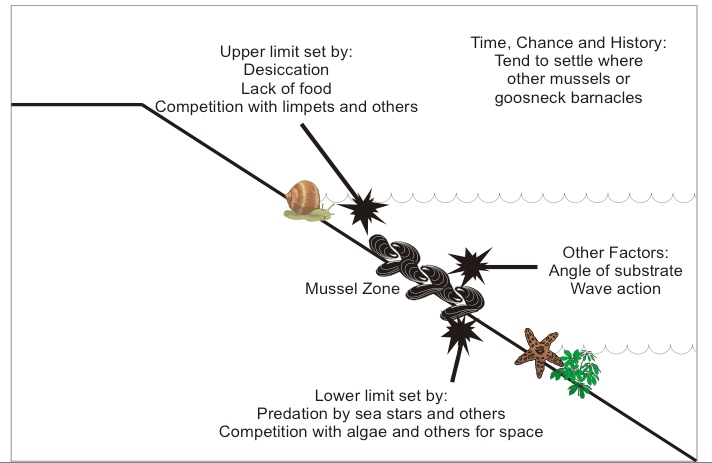
The Zones

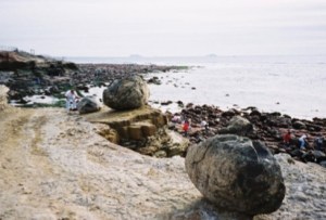
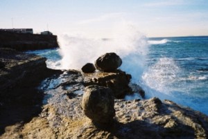
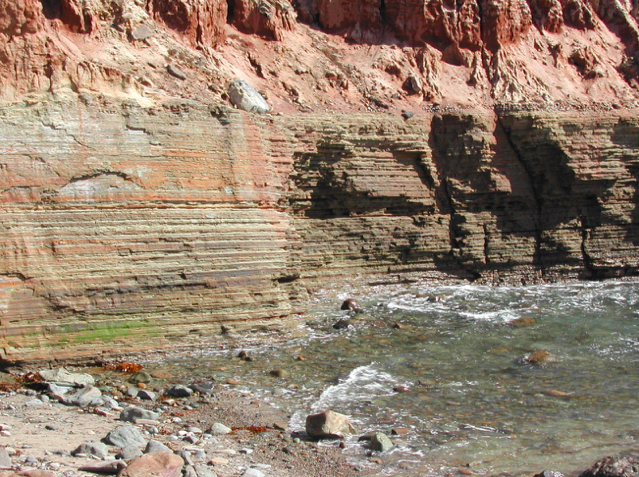
Descending the slopes of Cabrillo National Monument, sandstone cliffs drop off into the intertidal habitat that characterizes the western shore of the monument. The intertidal zone is where the land and sea merge.
Here marine algae, surf grass, and animals are submerged during the high tide and exposed to the sun and wind on the rocky reef during low tide. This ocean environment supports a tremendous diversity of life.
During low tide visitors can witness residents interacting with each other and utilizing the algae and surf grass for food and shelter.
High Intertidal (Splash) Zone

- Splashed during high tide, dry during low tide
- Highest and most visible intertidal area
- Rocky ground, very little algal or plant life
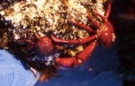
The Splash Zone, farthest inshore, and the upper tidal zone are mostly found on the sandstone cliff faces in the tidepools. Calling these zones home are many small invertebrates such as periwinkle snails, lined shore crabs, acorn barnacles, isopods, and limpets.
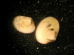
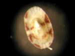
Some Residents of the Splash Zone


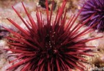
The Middle Intertidal Zone
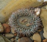
The Middle Intertidal Zone is fully submerged during high tide and fully exposed during low tide. Tidepool critters found here have adapted to these drastic twice-daily changes. Residents of this zone include California mussels, aggregating anemones, limpets, chitons, California sea hares, snails, crabs, fishes, lobsters, and octopuses.
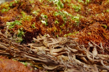
- Algal Turf and Mussel Zone


Importance of Turf for Small and Baby Animals
Up to 1.6 million per square meter!
(1mm Scale)


Some of the Animals that Live in the Middle Intertidal


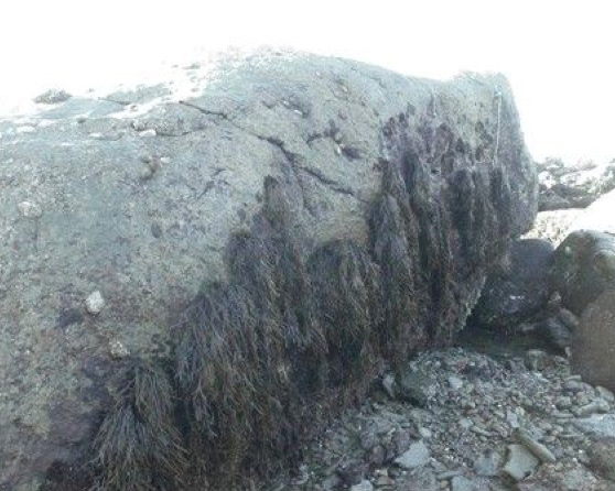
The Lower Intertidal Zone
- Surf grass area
- Only occasionally exposed to air

Slippery and Full of Green and Brown


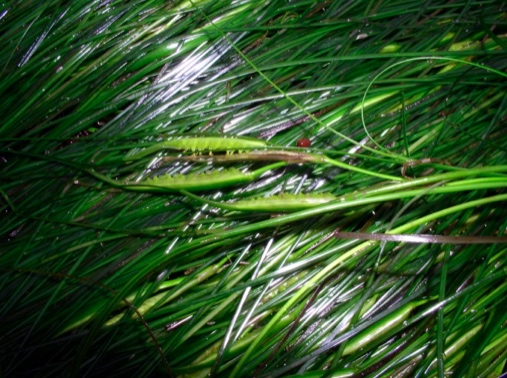
Surf grass is the only true plant within the Intertidal Zone. All the other “plants” are algae, commonly referred to as seaweed. Algae are neither plant nor animal.
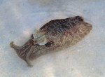
Some Animals that Live in the Lower Intertidal


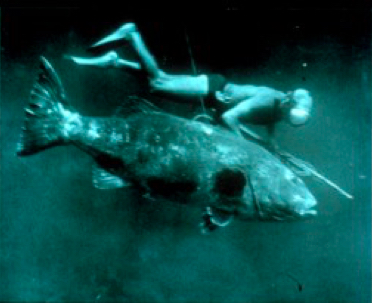
Lower Intertidal Joins the Subtidal (Kelp Forest)
Past the intertidal zone is the subtidal zone where the tides no longer expose a rocky reef. This zone is where larger fish, larger sea stars, and many types of algae, crustaceans, snails and brittle stars live. This is also where some marine algae grow much larger.

The Point Loma Kelp Forest
• 1 km x 7-10 km although size varies seasonally and inter-annually

Many Lower Intertidal Organisms are also Found in the Kelp Forest


Getting More Information
-
Life Between the Tides by Jeffery Brandon & Frank J. Rokop, May 1885
-
Seashore of Southern California by Ian Shelson, (Lone Pine Field Guides), 2007
-
The Beachcomber’s Guide to Seashore Life of California by J. Duane Sept, 2002
-
Between Pacific Tides by Edward F. Ricketts and Jack Calvin, 1939
-
Intertidal Invertebrates of California by Robert H. Morris, 1980
Intertidal Zones vs. CNM Tidepool Management Zones
Intertidal Zones (Zonation): The natural division of the area between when the tide is at its highest and at its lowest.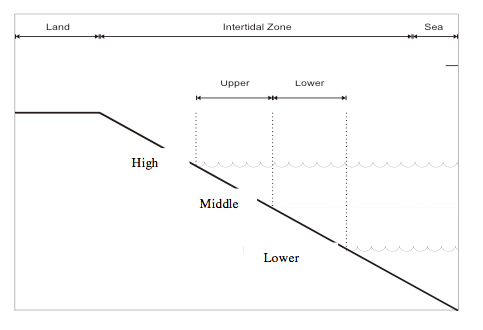
- High Intertidal (Splash) Zone – dry at low tide; splashed at high tide
- Middle Intertidal Zone – Algal turf and mussel area
- Lower Intertidal Zone – sea grasses area
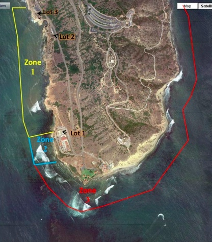
Tidepool Management Zones: CNM created tidepool boundary areas around the tip of the Point Loma Peninsula into:
- Zone 1 – directly at the end of the tidepool path from Parking Lot 1; most visited, most area uncovered at higher tides
- Zone 2 – starts approximately at south end of Zone 1 bay and ends at the Coast Guard boundary; only uncovered during low tides
- Zone 3: closed to public; extends around entire tip of peninsula; used as a control area for research; one of the TPERP’s prime missions is to protect Zone 3
Example of Zonation in CNM Tidepools – One Rock in Two Intertidal Zones
Tidepool Protection, Education, and Restoration Program TPERP
• Established 1996
- Volunteer Presence (TPERP VIPs)
– Educators
– Guides to do what’s right
- Long-term monitoring and research (Data Collection VIPs)
- Closure of Zone 3
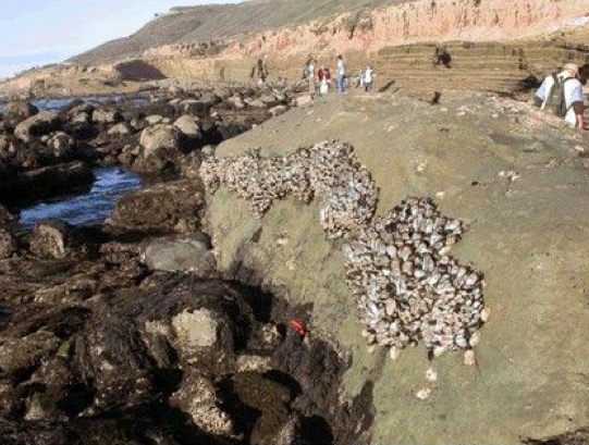
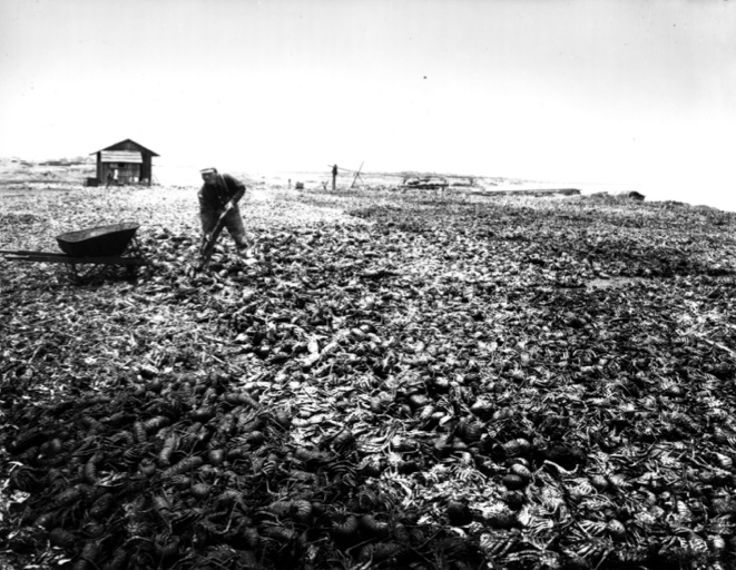
What Used To Be…
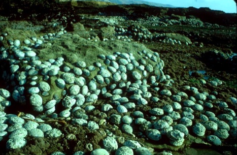
Human Impact
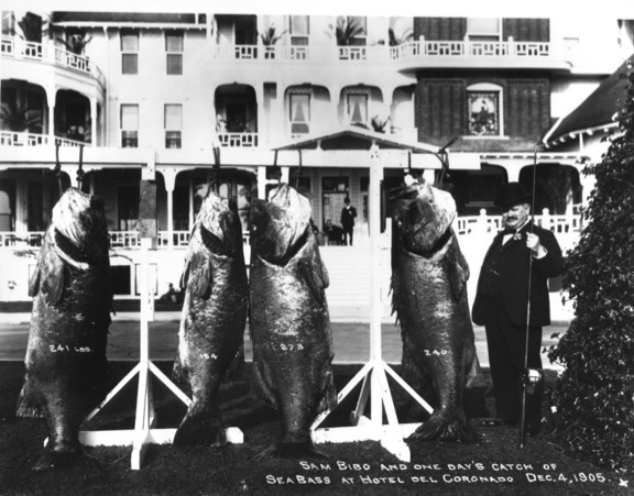
More Human Impact

- Trampling
- Rock Flipping
- Ghost Traps and Nets
- Trash
- Pollution
- Disease
- Development
- Water Temperature
- Ocean Acidification
- Climate Change
- Invasive Species
The Importance of Tidepool Zone 3
The effects of human trampling


How Many Invertebrates Live in the Turf?
Average # in a 10cm X10 cm patch of turf:
Zone 3: 3,208 = ~290,000/m2
Zone 1: 802 = ~72,500/m2
Maximum = ~1,600,000/m2


Tonya Huff, SIO
Zone 3 Boundary


Look for the orange Bots Dots… and the sign that says:
“Protected
Intertidal Area
Closed for
Recovery and Research
No Entry
Beyond This Point”


We need to Protect Zone 3

Thank You !
Last revised 16-Oct-21
